Well Well Well, What a Cool Map!
Rumors had been swirling in the Matsumoto air. Romurs thicker even than the annual mix of pollution and yellow sand that blows over from China. Rumors of the coming of a brand new map of Matsumoto. Many of you, I know, have been chewing your fingernails into oblivion in anticipation. Well you can keep your cuticles, the new map is here!
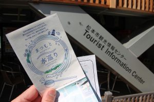
Like any map worth its weight in paper this new puppy has all your main points of interest clearly marked: Matsumoto Station; Fukashi Shrine; the Matsumoto Performing Arts Center and the Museum of Modern Art; Nakamachi-dori, the old merchants’ road; Nawate-dori, also known as Frog Street; and of course, Matsumoto Castle.
But notice the theme of this pocket-sized piece of tourism, spelled out inconspicuously in the artful logo on the front: “Matsumoto Spring Water Excursion”. While such a moniker may elicit visions of trekking across the Shinshu Plains and up into the nearby Northern Alps balancing a length of bamboo across your shoulders, wooden buckets of water on each end weighing you down, this map actually lays out three distinct, easy walking routes that snake through the downtown area, bringing you to the many natural fresh water springs that bubble and flow along the side streets between Matsumoto’s big-ticket sights.
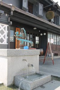
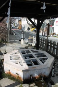
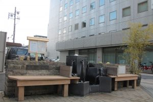
The first route makes an angular loop through the Nakamachi-dori area of downtown. The most noticeable are the iron pump-operated well in front of the iconic Kurassic-kan building in the middle of Nakamachi Street and the historic Well of Genchi where the locals can often be seen filling up their bottles and jugs so they can take this ultra-fresh underground spring water home with them.
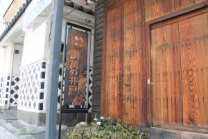
The second route basically meanders along the Metoba River that curves through town and runs between Naamachi and Nawate Streets. The highlight of this path is the Taiman Well, not just for the well itself but the walk that you’ll take to get there. Along the way you’ll see a side of Matsumoto you likely otherwise would miss, including the throwback character of Hashigo Yokocho, a collection of small cafes and old-style Japanese eateries gathered in a traditional alleyway setting. The narrow lane to the Taiman Well itself gives another glimpse of the rarely-seen side of life in Matsumoto and Japan in general. Look for the bronze sign pointing the way.
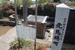
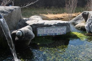
The third trail takes you along the old outer moat of Matsumoto Castle, some of which still remains. From the fountain with the stone frog staring out at Nawate-dori and across to Yohashira Shrine you’ll walk east then north, up to the old North Gate Well. From there it’s an easy walk past a couple more hidden springs and over to Matsumoto Shrine – and another well. Cross the street and you’re back at Matsumoto Castle.
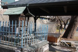
One of the best things about visiting Matsumoto is how compact the downtown castle area is. It’s easy to walk from point to cultural, historical point and still have time to hit the new and shiny AEON Mall just past the easternmost springs marked on your map.
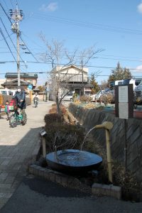
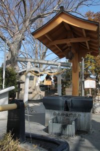
What this Spring Water Excursion map offers, however, is a bit of direction in taking in all the subtle everyday aspects of life in Matsumoto, from centuries ago through today. And hey, there’s certainly nothing bad about being able to fill up your water bottle (for free!) with the cleanest, freshest spring water around.
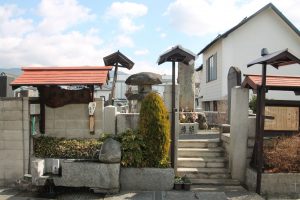
Look for a copy of this map at the Visitor Center right across from the ticket gates in the train station, or at the Tourist Information Center along Daimyocho-dori, across from Daimyo Street Well, on the road leading to the front entrance of the castle.
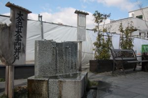
For more info and trivia regarding Matsumoto’s many natural springs check out this piece by PJ.
Happy Spring Water Excursioning!
